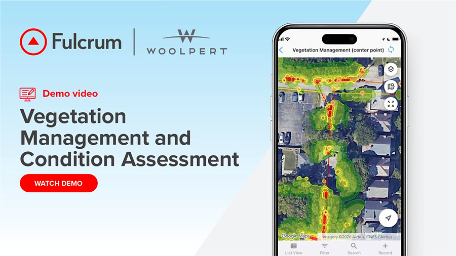
Fixed trimming schedules and top-down satellite imagery leave utilities guessing about where vegetation is closing in on their lines. In this demo, Woolpert and Fulcrum show how three-dimensional lidar data replaces that guesswork with precise, prioritized work.
Woolpert captures topographic lidar from fixed-wing aircraft and builds a 3D point cloud of each transmission and distribution corridor. Vegetation, poles, and conductors are classified, and every wire is modeled in three dimensions with its sag included. Customizable risk thresholds then flag vegetation within a set distance of each line, including growth from the side or below.
From there, Fulcrum’s Field Operations Management platform puts that analysis on the map for office staff and field users alike. Each span and tree arrives with its risk level, work prescription, and parcel details attached.
The demo follows a single span from lidar flight to a locked, billable record and shows every handoff along the way. Vegetation managers and the contractors who serve them will see how lidar vegetation management data reaches crews as clear assignments. Utilities get a defensible way to send crews where the risk is highest and skip the spans that can wait another cycle.