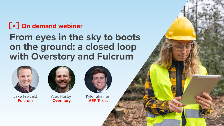
Overhead imagery shows which trees threaten your lines, but it misses the spans crews cleared this morning. It also can’t show the dead oak a crew found that the imagery never caught. Until field results reach the model, your vegetation management program runs on a risk picture that lags the work.
Overstory, a vegetation intelligence platform, applies AI to overhead aerial imagery to assess risk tree by tree across entire service territories. Fulcrum, the Field Operations Management platform, puts Overstory’s priorities in front of the trim crews doing the work. When crews close out jobs in Fulcrum, the results flow straight back to Overstory and the risk picture updates.
Overstory and Fulcrum will walk through the full connection in this webinar, from imagery to the field and back again. AEP Texas, a customer of both companies, joins us to share how a utility puts the two platforms to work.
We built this session for vegetation management program managers at electric utilities and the contractors who work for them. If your team plans trim cycles from imagery and tracks completed work separately, you’ll see how to connect the two.