


Why environmental data management breaks down between field and office
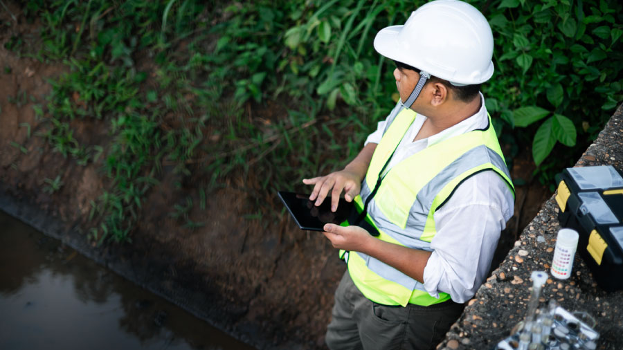

Environmental data management often breaks down at the handoff, where monitoring records pass through several hands before compliance review. Records reassembled in the office draw extra scrutiny during audits and permit renewals, and some gaps require another site visit to close. Capturing structure at the point of collection gives compliance leaders records they can defend from the start.
Key insights
Environmental data management is the process of collecting, validating, storing, and reporting the data an environmental program runs on: field observations, monitoring readings, sample results, photos, and the location and time attached to each. The Interstate Technology and Regulatory Council’s environmental data management best practices treat field data collection as one phase of that lifecycle, alongside planning, data quality, data exchange, and geospatial data. The field is where a record is created, so details missed there are the hardest to recover later.
In many environmental programs, monitoring data changes hands several times before anyone reviews it for compliance. A reading logged by a technician might pass through a coordinator’s spreadsheet before an analyst shapes it into a report. Details can slip at each transfer, and the gaps stay hidden until someone needs the record.
When a record does get pulled for review, it usually lands with environmental compliance managers and EHS directors. A permit renewal or EPA inspection requires them to stand behind data someone else collected, sometimes months earlier. In those moments, documentation that holds up under questioning keeps the review short. Fragmented records give an auditor reasons to keep asking. Many environmental data management problems start at the handoff, and the fix depends on where data gets its structure.
Many teams collect data with Excel, email, paper forms, and an ad hoc field data collection app. Each tool holds a different part of the same record. Readings live in a spreadsheet, photos stay on a phone, and the inspector’s notes sit on a clipboard.
Location and time often go uncaptured entirely, so staff rebuild both later from a calendar or a camera roll. Unlike sensor feeds that come timestamped and tied to a location, manual records hold only what the field team captures.
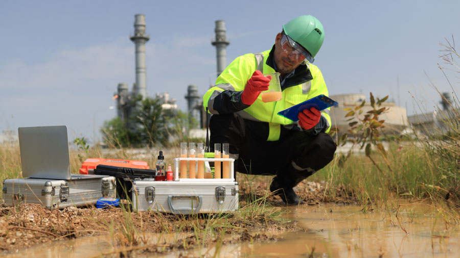
The full record comes together only when someone in the office assembles the pieces by hand. The compliance manager who signs off is often the first person to see it in one place. Their signature vouches for the field team’s work and for every step of the reassembly.
An inspector reviewing a field record starts with three questions: who collected it, when, and where. When office staff reassemble a record, those details arrive secondhand and long after the site visit. Once one timestamp looks reconstructed, the records around it can draw the same scrutiny.
EPA Region 4’s Sample and Evidence Management procedure, for example, applies those questions to photos, asking investigators to log each photo’s location, date, time, and photographer.The same procedure requires corrections to field records to be initialed and dated, so every change stays visible. An image pulled off a phone weeks later arrives with only part of that information attached. A digital chain of custody captures those details at creation and logs every edit that follows.
When records come up short, compliance leaders can spend audit week searching email threads and spreadsheet versions. EHS data management turns into an exercise in archaeology. Some gaps can’t be filled from the office at all, and closing them means another trip to the site. Weak environmental data management can also slow permit renewals, as missing details turn into follow-up requests from the agency.
The usual response to bad field records is more training, more reminders, and another round of double-checking. Each step adds work for field staff and leaves the underlying tools exactly as they were. Careful people working in a fragmented system still produce fragmented records.

Durable environmental data management puts structure where the record begins, on the device in the inspector’s hand. Required fields stop an incomplete record at the source, and choice lists give every inspector the same vocabulary. Photos attach to the record they document, so an image of a damaged silt fence stays with its inspection. GPS coordinates and timestamps attach to the record automatically, so location and time come from the device.
With structure in place at collection, the office receives records it can trust on arrival. Compliance leaders get records they can defend, and field staff stop carrying the burden of perfect recall.
Teams comparing environmental compliance platforms can judge each one by how much of the record it captures before anyone leaves the site. Five capabilities determine whether a platform protects a record from the moment of capture.
Every item on that list comes down to how the fieldwork itself is run. Environmental compliance software, then, works best as part of the platform that runs the fieldwork, from planning through handoff. Fulcrum is a Field Operations Management platform built for that work, with all five in every form.
On a wetland delineation, a crew might record soil observations, vegetation notes, photos, and boundary points across a single site. In Fulcrum, each stop becomes one record that holds all of it from the start. Location, time, and every edit stay attached, online or off. The office receives exactly what the field team built, the moment it syncs.
With Fulcrum’s geospatial capabilities, the crew can map the boundary as a polygon against GIS layers loaded on the device. Fulcrum geotags every photo automatically, and two-way sync keeps the results aligned with the GIS the office already runs.
The record itself answers an inspector’s questions about who collected it, when, and where. Compliance leaders sign off on a record they can see whole, and the reassembly step disappears from the process.

The same structure works for SWPPP inspections and remediation site visits. Site safety checks can live on each form too, so the record documents safe work next to the findings.
Required fields catch gaps before the crew leaves the site, which can spare everyone a return trip. Every inspection, survey, and site visit lives in one platform, structured and ready for whoever needs it next.
“The biggest thing in this business is to have the answers when the questions get asked.”
Colin Diehl, CEO and Co-FounderDIEHLUX, an ecological and natural resource consulting firm, has used Fulcrum for its environmental fieldwork since 2019. Inspectors send daily reports straight from their phones instead of building them at night, resulting in a time savings of two to five hours per day, per employee.
The gaps that surface during an inspection usually trace back to a handoff months earlier. By then, the details that would close them sit on a phone, in a spreadsheet, or in someone’s memory. When environmental data management begins at collection, the handoff carries a finished record.
Office staff stop piecing data together, and compliance leaders walk into an audit with every record complete. Permit renewals lose much of their back-and-forth, too, when the agency’s follow-up questions already have answers on file. The compliance record has always started in the field, and the right platform keeps it intact through sign-off.
A free custom demo shows how Fulcrum would run your environmental fieldwork, from stormwater inspections to wetland delineations. Request yours and see what permit-ready records look like when they leave the site complete.
What is environmental data management?
Environmental data management is the process of collecting, validating, storing, and reporting environmental data, from field observations and monitoring readings to sample results and site photos. It covers the full life of a record, from the moment a field team captures it to the moment a compliance leader submits it to an agency. Because the field is where a record is created, details missed there, such as location, time, and who collected it, are the hardest to recover later.
What is an environmental data management system?
An environmental data management system (EDMS) is software that stores environmental data in one structured database so teams can validate it, analyze it, and report it to regulators. Many EDMS platforms focus on lab results and long-term monitoring data. A field data collection platform feeds that system with complete, structured records from the site, so data arrives ready for review instead of needing to be rebuilt in the office.
Why does environmental data management break down between the field and the office?
Environmental data management can break down between the field and the office because teams collect data across Excel, email, paper forms, and separate apps. Each tool holds only part of a record, so readings, photos, and inspector notes stay scattered until someone in the office assembles them by hand. Details such as location and time slip away during that reassembly.
What do inspectors look for in an environmental field record?
Inspectors reviewing an environmental field record start with three questions: who collected it, when, and where. Records reassembled in the office deliver those details secondhand and long after the site visit. One reconstructed timestamp can draw scrutiny to the records around it.
How do fragmented environmental records affect permit renewals?
Fragmented environmental records slow permit renewals because missing details turn into follow-up requests from the agency. Compliance leaders can spend days before an audit searching email threads and spreadsheet versions for answers. Some gaps can’t be filled from the office, so closing them means another trip to the site.
What should teams look for in environmental compliance software?
Environmental compliance software should be judged on five capabilities: structure at the source, offline capture, direct sync to the office, record-level audit history, and location data that reaches a GIS. Together they show how much of the record a platform captures before anyone leaves the site.
Why is offline capture essential for environmental monitoring?
Offline capture is essential for environmental monitoring because remote sites often lack cellular coverage. Records need to stay complete on the device until they sync, so nothing has to be rebuilt from memory or photos later. Instead, location, time, and edit history stay attached to every record.
How does Fulcrum support environmental data management on a wetland delineation?
Fulcrum supports environmental data management on a wetland delineation by turning each stop into one record. That record holds soil observations, vegetation notes, photos, and boundary points from the start, with location, time, and every edit attached, online or offline. Fulcrum geotags every photo automatically, and two-way sync keeps results aligned with the GIS the office already runs.