


Wildnote Teams: The field record that shows the full picture
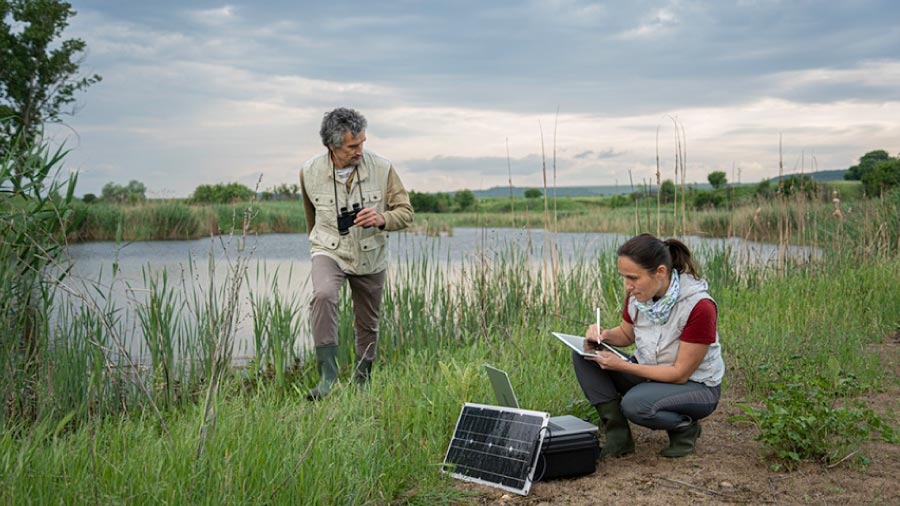

A useful field record helps someone who wasn’t there understand what you observed. Sometimes, a written note and a photo are enough. Other times, you need to show movement, point out a detail, sketch a relationship, or explain what you’re seeing as you see it.
Fulcrum gives environmental field teams more ways to capture that information.
Wildnote’s media options were limited to photos. With Fulcrum, you can also record video and audio, create sketches, annotate photos, mark up maps, and add date and time stamps directly to images. That means more flexibility to choose the format that best communicates an observation.
Let’s look at how each of these tools can add clarity and context to your field records.
You had photo fields in Wildnote, and the basics carry over to Fulcrum: multiple photos per record, organized categories, and captions.
The focus here is on the photo capabilities that didn’t exist in Wildnote, and that many of your staff have quietly been working around with a secondary app.
Before saving a photo to the record, you can annotate it to draw an arrow pointing to the feature referenced, circle the nest, or add a text label. Both iOS and Android support markup tools. The annotated version is what gets attached to the record.
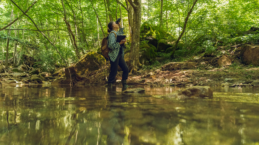
If you’ve ever handed someone a photo and said “see that thing in the lower right corner,” photo markups are the answer.
When enabled on a photo field, Fulcrum automatically imprints the date and time the photo was taken directly onto the image. The stamp appears in the lower-left corner the moment the photo is captured, and it stays there permanently. The inspector doesn’t have to type or remember anything, and nobody has to hunt for it in a metadata file.
If your team has been using apps like Theodolite or Solocator to get a timestamp burned onto field photos before adding them to Wildnote, this eliminates that step. The stamp is built into the Fulcrum photo field itself. For compliance documentation and agency submissions, it also removes an entire category of “when exactly was this taken?” questions.
Every photo captured in Fulcrum is geotagged with the location and direction the camera was facing. In the map view, you can see where each photo was taken and which way the photographer was pointing. For spatial documentation like monitoring transects, site surveys, and multi-point inspections, this context is genuinely useful. Each pin on the map also shows the photograph’s orientation relative to the site.
The sketch field is a standalone field type with three different modes, depending on what background you’re drawing on.
When you configure a sketch field with the Map Snapshot option, the user gets a snapshot of the current basemap, including any active layers, as the canvas. From there, you can draw your transect line, mark sample plot boundaries, indicate the direction of water flow across the site, or add a symbol where you observed nesting activity. The sketch saves as an image attached to the record.
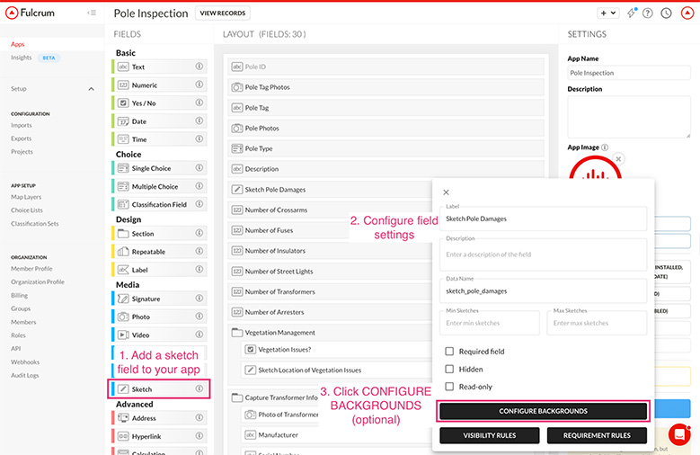
For spatial documentation that doesn’t need a full GIS workflow, or for the crew member who needs to capture something quickly and accurately in the field, this is practical and fast.
Upload an image as the sketch field background: a site plan, a cross-section diagram, a FEMA flood zone map, or a monitoring template. Once uploaded, it’s the background every time someone opens that field, so crews can annotate right on top of it. The custom background works especially well for structured site inspections where the same template gets marked up on every visit.
Sometimes you just need to draw a quick diagram of how the culvert connects to the channel, a soil profile cross-section, or the layout of monitoring points along a transect. The blank canvas is there for that.
All three modes save the result as an image attached to the record.
Video captures what a photo can’t: duration, movement, and the context around it. The video field can also record a GPS track during capture, so the video is associated with where you were standing when you recorded it.
A short video clip carries more weight as compliance evidence than a description or a still frame, especially when you’re documenting an active violation. It shows the condition in a way that’s hard to dispute and easy to understand in a meeting or a report.
The audio field works simply: tap record, speak your observation, tap stop. The recording is attached to the record, and anyone who reviews it later can play it back.
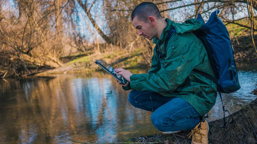
Some workflows move faster than a digital form can keep up with. A bird count survey is the clearest example, since you’re scanning, counting, identifying, moving, and making decisions about what you’re hearing and seeing in real time. Stopping to navigate a form and type entries means missing the next observation. Audio solves that. You speak what you’re documenting as you go, and the detailed write-up happens later when you’re back at the truck. The data doesn’t get lost because the form was too slow.
Audio works alongside your structured data fields as a safety net for the moments when the work moves faster than the form. For longer field narratives that don’t fit neatly into a choice list or a short text field, it’s also a useful place to capture context that would otherwise disappear.
Audio FastFill goes a step beyond the audio field. It’s an AI feature that listens to what you say and automatically populates your form fields.
Tap the FastFill button and describe what you’re observing, including the conditions you see, the choices you’d select, and the text you’d type. The system converts your speech to text on-device, processes it through Fulcrum’s AI, and populates the relevant fields. It can fill choice lists, text fields, and multiple fields at once. You don’t have to map your words to specific fields as you talk, since the AI figures out what goes where.
For a stormwater BMP inspection, that might sound like: “The inlet protection is present but partially blocked by sediment accumulation. No active bypass. Recommend maintenance within 30 days.” The corresponding fields for condition, sediment level, bypass status, and maintenance recommendation fill automatically.
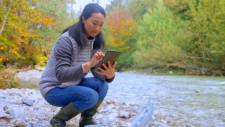
In practice, you can walk a site and build the record while you move. You can capture more detail than you’d bother typing on a mobile screen, and the data lands in structured form fields with no voice note waiting on someone to transcribe it.
Audio FastFill is the feature worth trying in your first week. Once a crew experiences filling a multi-field inspection form by talking while they walk, typing feels like a step backward.
Audio FastFill is available on Elite and Enterprise plans.
Photo FastFill is in development and works on the same idea with a different input. Photograph an asset tag, a damaged condition, or a sign, and Fulcrum’s AI extracts the relevant information and maps it to your form fields. For infrastructure inspection, utility maintenance, and environmental monitoring workflows, that’s a meaningful change in how fast and accurately a record can be built from a single photo. More on that when it’s ready.
A field record is only as useful as what’s in it. The structured data fields, like choices, numbers, and dates, are still the backbone, and now the rest of what you observe has somewhere to go.
Photo annotation shows what you mean. Sketch on the map records what you observed spatially. Video documents what’s moving. Audio FastFill builds the structured record while you’re still standing in it.
So the standing water in the southwest corner can now come back with its depth, its color, and the sketch that used to live on a scrap of paper. And everyone who reads the record, reviews the site, or receives the report sees what you saw.
Next up: We’re walking through the wetland workflow. If you’re wondering how it compares to what you had, it’s familiar where it should be and better in the places you’ll notice most.
Catch up on the full Wildnote transition blog series:
You can also watch our bonus on-demand webinar, Use AI to build workflows you’d given up on, where Jake Freivald, Fulcrum’s VP of Product Marketing, and I walk through building field workflows with Claude.