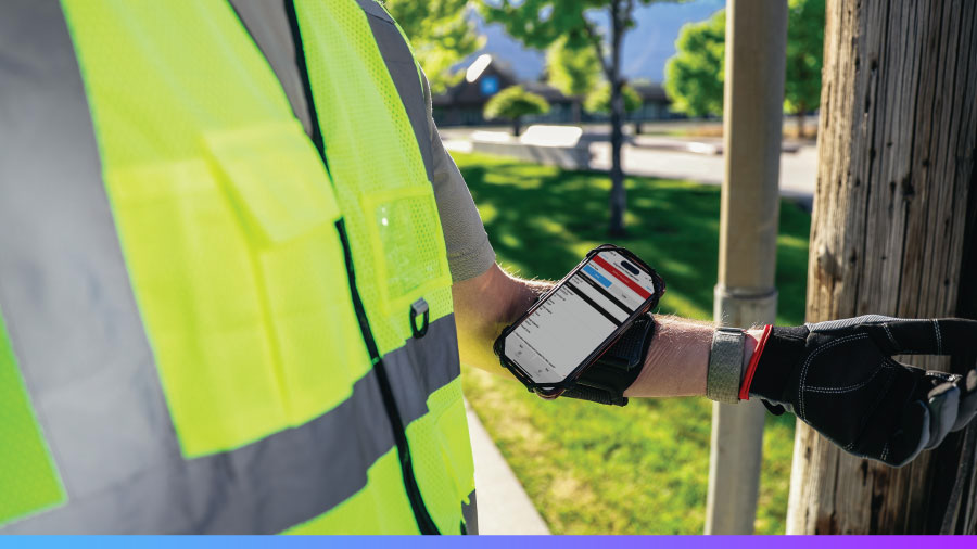

Get faster, more accurate data capture for your field operations with Fulcrum’s AI-powered data collection solution without the complexity of office-centric tools.
AI-powered Field Operations Management
Fulcrum is the Field Operations Management platform field organizations use to run, record, and close out their work. Automation and location intelligence pull every job into one connected record from the moment work starts. Native AI completes the picture by capturing work in the field and making sense of it in the office.
Explore below to see how Fulcrum brings structure, flexibility, and connection to every field operation.

What is Field Operations Management software?

Field Operations Management software is the system field organizations use to run recurring fieldwork: inspections, data collection, safety procedures, and asset checks. It standardizes how crews work, records what happens on site with GPS-verified evidence, and closes every job out with audit-ready records that flow straight into office systems like ArcGIS.
A Field Operations Management platform combines four things:
- Standardized digital forms and SOPs so every crew runs the job the same way
- Geotagged data capture that works offline, with photos, video, and GNSS-grade location
- Built-in safety and compliance workflows, from JSAs to OSHA recordkeeping
- Real-time visibility for the office, with automatic sync and plain-language reporting
Almost 3,000 organizations run their field operations on Fulcrum, including utilities and the engineering, construction, and inspection firms that serve them.
Give field teams the Field Operations Management platform they deserve
Fulcrum builds data quality, integrated safety, and field efficiency into every job your field teams complete.
Learn more


Data quality

Integrated safety

Field efficiency
From scattered point apps to one Field Operations Management platform
Fulcrum replaces the clutter of point apps and paper with one field operations management platform organizations rely on to run, record, and close out their work: mobile apps for the crew, dashboards for the office, and GIS-ready data in between.

Field ops work better when the platform fits
Your field software shouldn’t dictate how your work gets done. Fulcrum’s platform is built to adapt, giving you structure for consistency, flexibility to match your workflow, and integration to connect your other systems.
This is what a field-first platform looks like in action.
Field Service Management vs. Field Operations Management
Searching for field software turns up two categories that sound alike and solve different problems.
Field Service Management (FSM) software runs customer service calls. It is built around scheduling and dispatch, work orders, route optimization, invoicing, and customer communication. If your field technicians exist to serve customer appointments, FSM tools are built for you.
Field Operations Management (FOM) software runs the work itself. It is built for organizations whose crews inspect, maintain, and document assets and infrastructure: standardized processes, geotagged field data collection, integrated safety, and records that close out ready for GIS and reporting.
Many teams use both. A utility contractor might dispatch crews through an FSM or work order management system and run every inspection, SOP, and safety procedure through Fulcrum. If your bottleneck is proving what happened in the field, not booking the appointment, you need Field Operations Management.
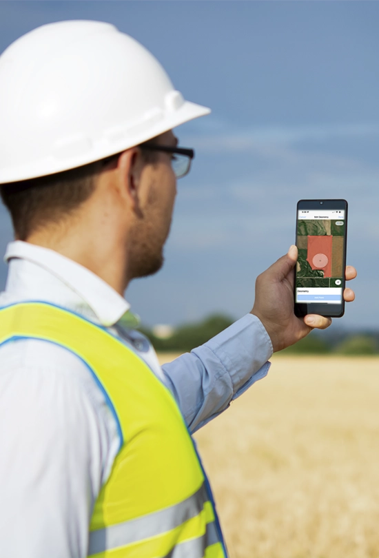
Made for the front lines
No two field processes look the same. Fulcrum is built to handle all of them.

Made for the front lines
No two field processes look the same. Fulcrum is built to handle all of them.

Inspections
Conduct AI-assisted, automatically geotagged inspections for any asset or jobsite.

SOP & compliance
Give field teams clear, standardized procedures and a simple way to document every step.

Field processes
Support any field workflow with purpose-built process tools that adapt to how your teams work.

Safety
Keep field teams protected with templates that make it easy to manage both internal and regulatory requirements.
GIS data collection workflows in Fulcrum
Fulcrum establishes a digital thread that moves data from initial setup to final analysis without manual re-entry.
- Step 1: Standardize forms. Define requirements using repeatable sections, conditional logic, and classification sets.
- Step 2: Deploy apps. Launch location-enabled apps to field teams on any mobile device to replace manual paperwork.
- Step 3: Capture location. Collect geospatial data including points, lines, and polygons using native GPS or Bluetooth receivers.
- Step 4: Sync records. Transfer data automatically from the mobile device to the cloud at the moment of capture.
- Step 5: Validate accuracy. Verify work location and timing through geostamped audit trails.
- Step 6: Integrate systems. Move field data into ArcGIS or other platforms using APIs and standard formats like shapefiles or GeoJSON.
- Step 7: Collaborate. Share results via web services or data shares to keep field and office teams coordinated.

See the difference a field-first platform makes

Eliminate the complexity and confusion of multiple bolt-on apps by standardizing on one field data collection platform.

Empower teams to adapt quickly by customizing their own Field Operations Management apps, complete with IT and GIS team oversight as needed.

Get better data quality by integrating AI, FieldTech, GIS, and office-based systems into field workflows with automated quality checks.
Why unified field software wins
One platform beats a stack of bolt-ons. Here’s the case for making the switch.
Bridging the gap from field capture to office action
A workflow is only as good as the data feeding it. Here is how that looks when your field teams and your office systems finally speak the same language.
- Interact with live ArcGIS layers. Connect field crews to office data through secure, real-time in-app authentication to view and update existing feature services.
- Map points, lines, and polygons together. Capture complex geospatial geometries like an asset point, a utility line, and a boundary polygon within a single, standardized digital form.
- Work with offline spatial data. Maintain productivity in remote areas by using customizable basemaps and layers that display geometries and attributes without a cellular signal.
- Verify work with geostamped audits. Ensure data integrity with automated trails that track the exact location and time of field activity.
- Automate tasks with field data events. Trigger instant notifications, validations, or workflow changes automatically based on the specific location or attributes of a captured record.
- Convert speech to structured data. Turn spoken observations into organized data fields using AI-powered Audio FastFill.
- Move data into GIS-ready formats. Export field results for immediate use in office platforms via shapefiles, KML, or GeoJSON.
- Query data with Fulcrum Insights. Ask plain-language questions to receive immediate textual answers, charts, and maps without specialized training.


Geospatial capabilities
Our best-in-class geospatial capabilities make field operations a breeze. Here’s just a glimpse of what we offer:
- Customizable basemaps with data, layers, and geometries display, even when offline
- Direct viewing of Feature Service Layers with secure in-app authentication to ArcGIS
- Simple controls for location capture, including advanced geospatial geometries
- Geostamped audit trails to track and verify record locations
AI built for the field, ready for work
Audio FastFill uses AI to turn spoken observations into structured data, hands-free and hassle-free.
- Faster. Complete field tasks 20% faster by reducing manual data entry
- Smarter. Handles text, numbers, checkboxes, and conditional entry with no extra effort
- Built-in. Use on existing forms with no setup or training
- Designed for fieldwork. Collect data hands-free, even when wearing gloves or on the move
You can also automate workflows in Fulcrum, even in offline environments, using custom AI models.


Enterprise features
Fulcrum supports organizations of all sizes with enterprise-class features to meet stringent requirements and boost productivity, including:
- Efficient project organization
- Groups, roles, and projects management
- SCIM and SSO integration
- SOC 2 Type II compliance and ISO/IEC 27001:2022 certification
Transforming field operations with Fulcrum
Fulcrum revolutionized Brown and Caldwell’s water utility projects, slashing data management hours by 30% and helping it ditch paper forms for good. With cutting-edge field data collection technology, its operations became smoother, faster, and more precise, turning complex tasks into streamlined processes.
Brown and Caldwell

6x more daily inspections
Santa Barbara County Fire Department improved the efficiency of its wildfire prevention program by adopting Fulcrum, enabling the agency to perform over six times more daily inspections. Fulcrum’s real-time data and customization enhanced visibility and resource allocation, allowing the SBCFD to increase its defensible space inspection completion rate from less than 50% to over 90%.
Santa Barbara County Fire Department

Integrating FieldTech tools
Transitioning to Fulcrum significantly shifted how SCE managed its field operations and data collection processes. From simplifying app creation to integrating advanced FieldTech tools, Fulcrum has enabled SCE to enhance its operational efficiency and adaptability, reshaping the utility’s approach to project management, regulatory compliance, and emergency response.
Southern California Edison (SCE)

A day in the life of your field data
Your field data is always in motion, flowing seamlessly from the field to your office systems and back again. The Fulcrum Field Operations Management platform is your system of record, bringing it all together.
Download infographicLearn more about Field Operations Management